Zoom Earth is your go-to platform for tracking hurricanes, typhoons, and tropical cyclones in real-time, offering a comprehensive suite of weather tracking tools. As an interactive global weather map, Zoom Earth provides an unparalleled experience with its real-time satellite imagery, rain radar, and detailed weather forecast maps.
Key Features
Satellite Imagery: Zoom Earth utilizes cutting-edge satellite imagery from NOAA GOES, JMA Himawari, EUMETSAT Meteosat, and NASA's Aqua and Terra polar-orbiting satellites to provide near real-time views of weather patterns around the globe.
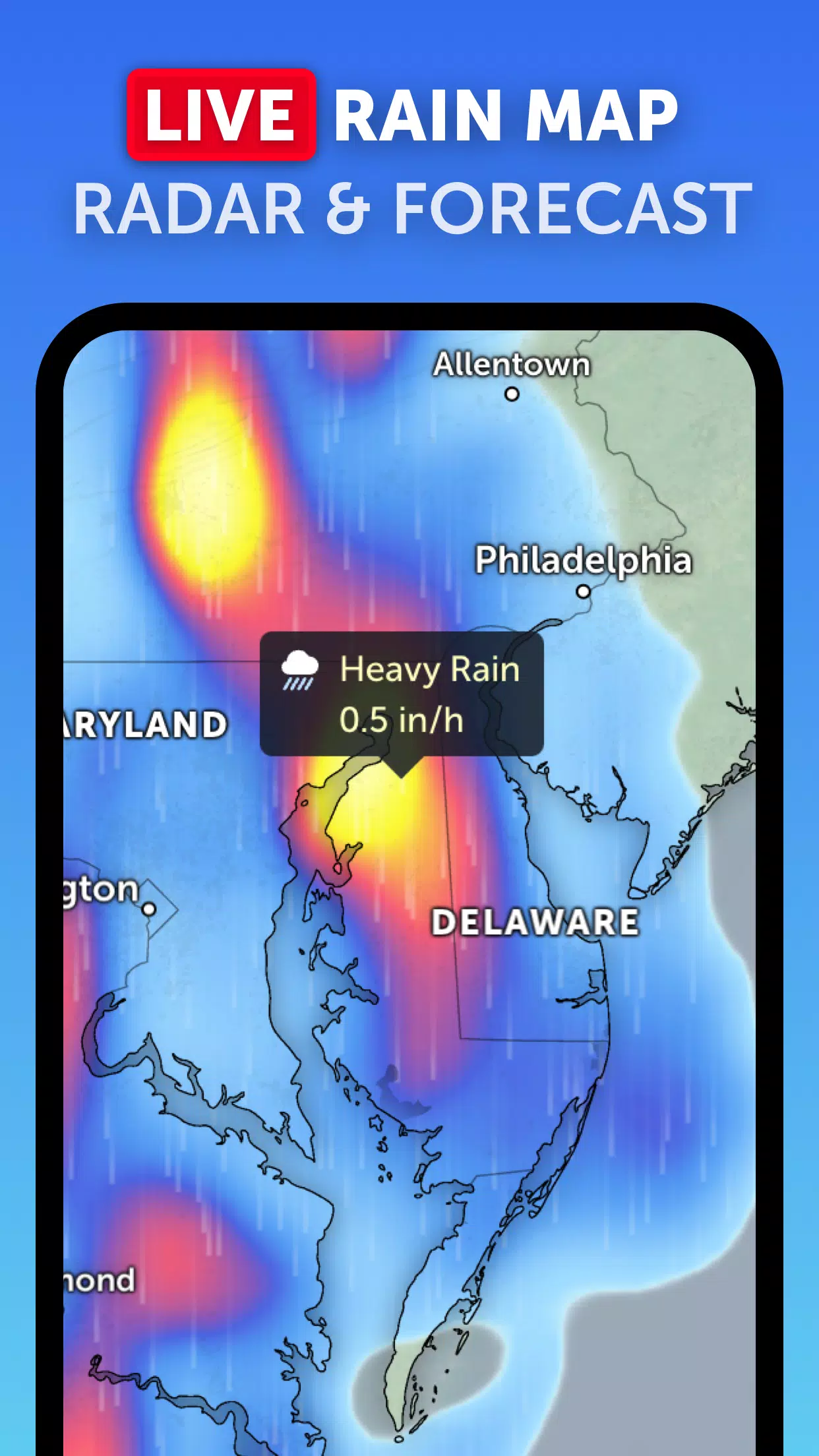
Rain Radar: Stay one step ahead of the weather with our real-time rain radar, which uses ground-based Doppler radar to detect and display rain and snow, ensuring you're always informed about incoming storms.
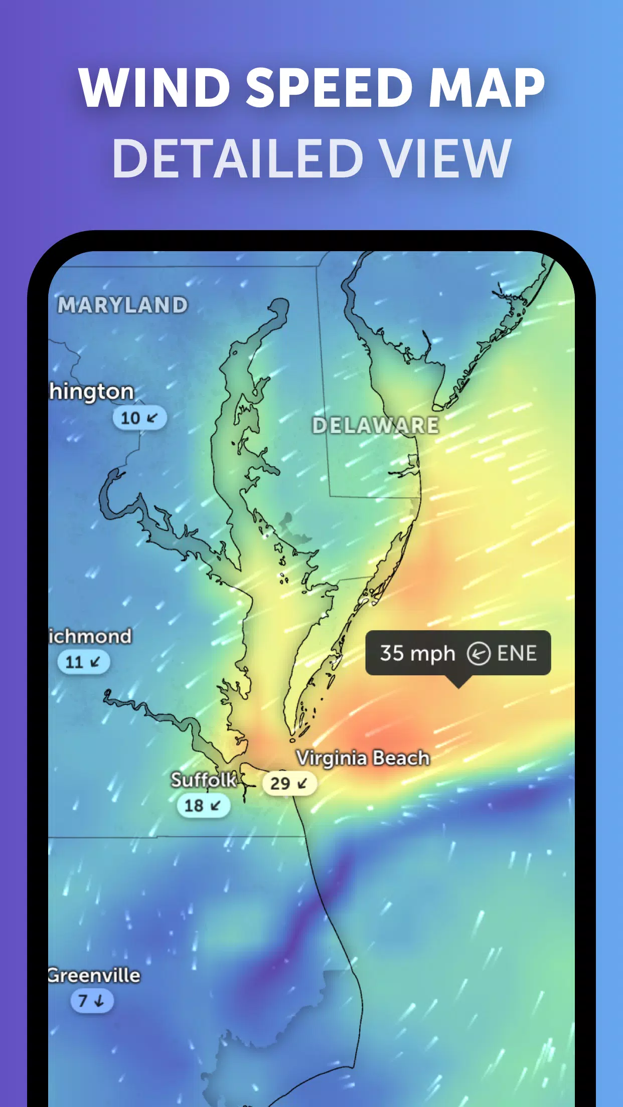
Weather Forecast Maps: Dive into visually stunning and interactive weather forecast maps that cover a wide range of meteorological data, including precipitation, wind speed and gusts, temperature, "feels like" temperature, relative humidity, dew point, and atmospheric pressure, offering a comprehensive view of upcoming weather conditions.
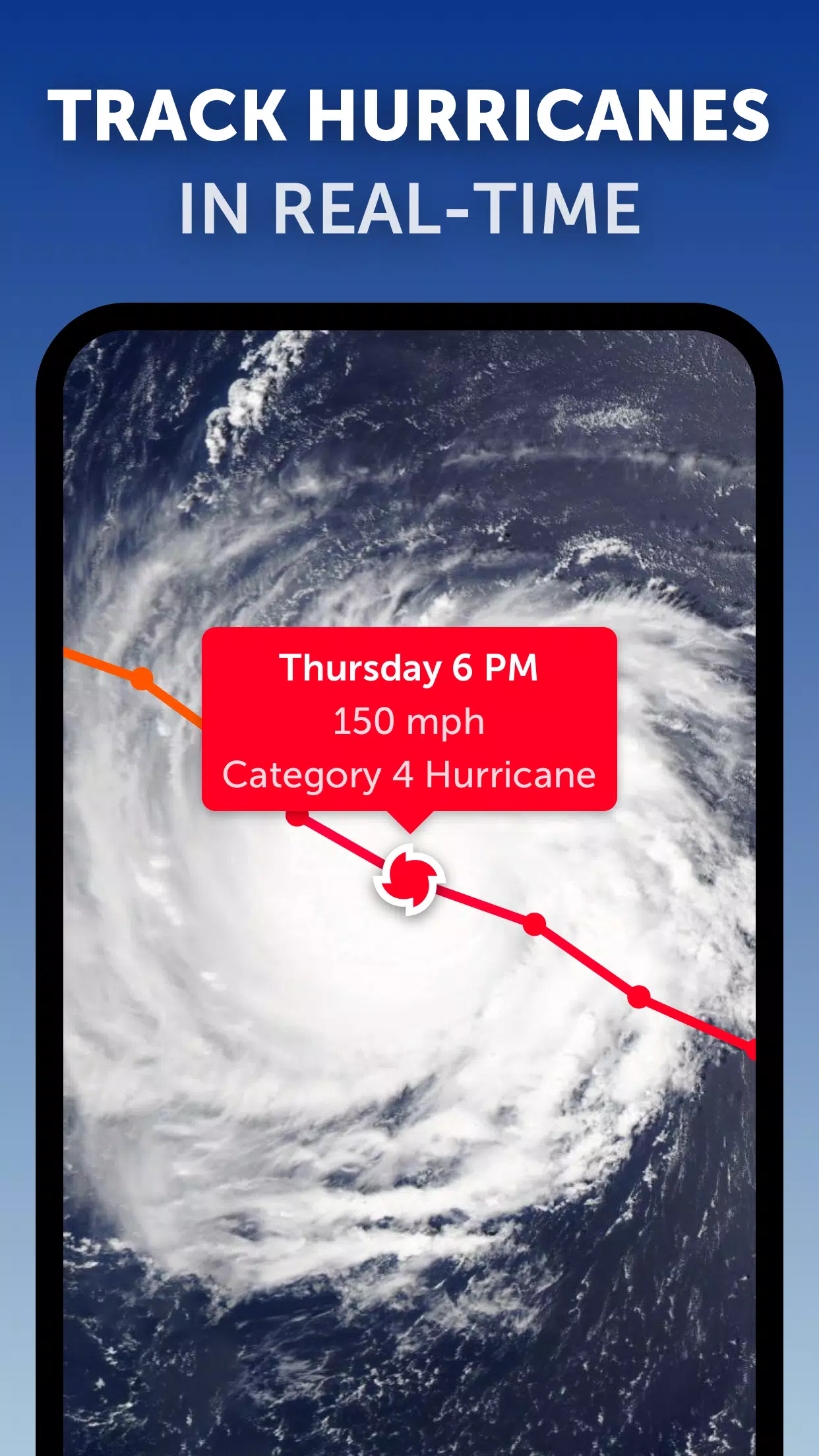
Hurricane Tracking: With Zoom Earth, track the progression of hurricanes from their initial formation to their potential escalation to category 5 status in real-time. Our system integrates the latest data from authoritative sources like NHC, JTWC, NRL, and IBTrACS, ensuring you have the most current and accurate information at your fingertips.
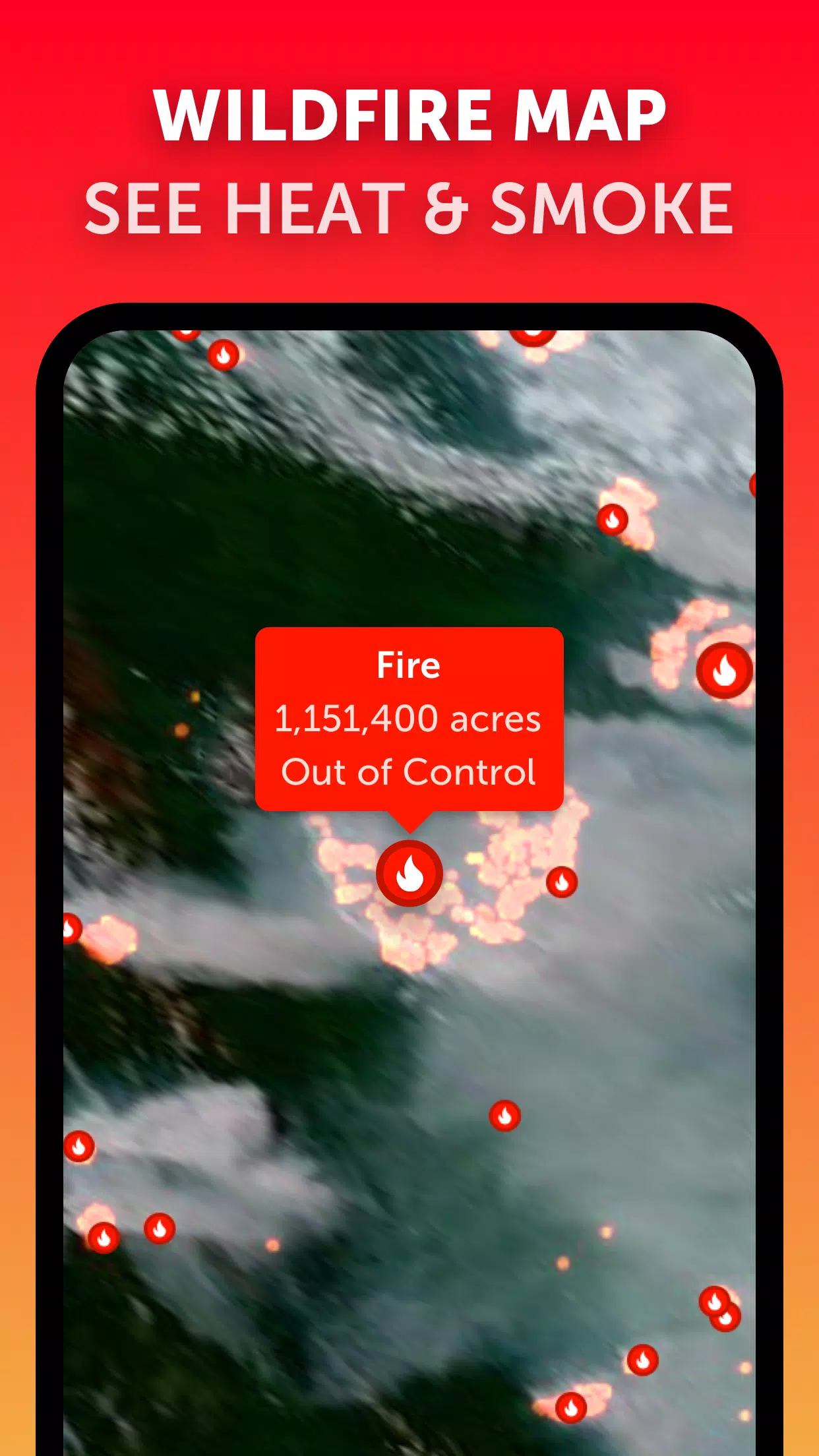
Wildfire Tracking: Keep an eye on wildfires with our active fires and heat spots overlay, updated daily with data from NASA FIRMS, allowing you to monitor high-temperature points detected by satellite.
Customization: Tailor your experience with a range of customizable options, including temperature units, wind units, time zone settings, animation styles, and more, ensuring the weather information is presented in the way that best suits your needs.
What's New in the Latest Version 3.1
Last updated on Sep 19, 2024
- Enhanced user interface for clearer viewing of multiple tropical systems, reducing clutter and improving overall usability.
- New separate alert systems for Atlantic and Eastern Pacific tropical systems, making it easier to track specific regions.
- Improved map labels for better readability and understanding of the displayed data.
3.1
28.5 MB
Android 8.0+
com.neave.zoomearth