Super Terrain: A Comprehensive Guide to its Powerful Mapping Capabilities
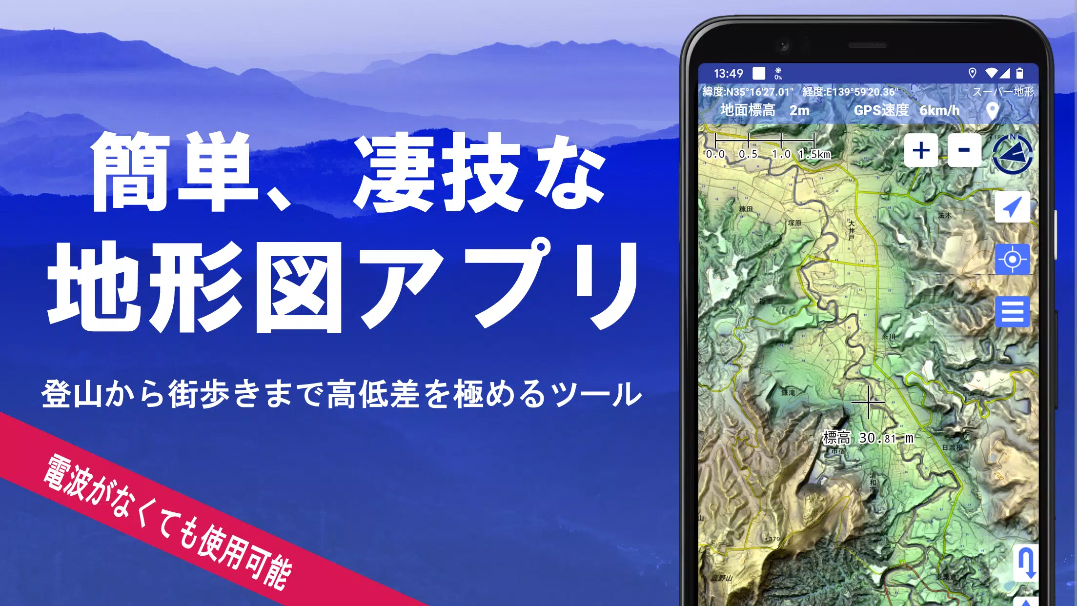
Super Terrain is a robust mapping application boasting over 100 map types, including those from the Geographical Survey Institute of Japan. Its versatility extends from urban exploration to challenging mountain ascents, maximizing elevation detail in both contexts. A recipient of the 2018 Japan Cartographic Society Award, Super Terrain leverages unique technology for superior topographic data representation.
This application offers a wide array of features:
-
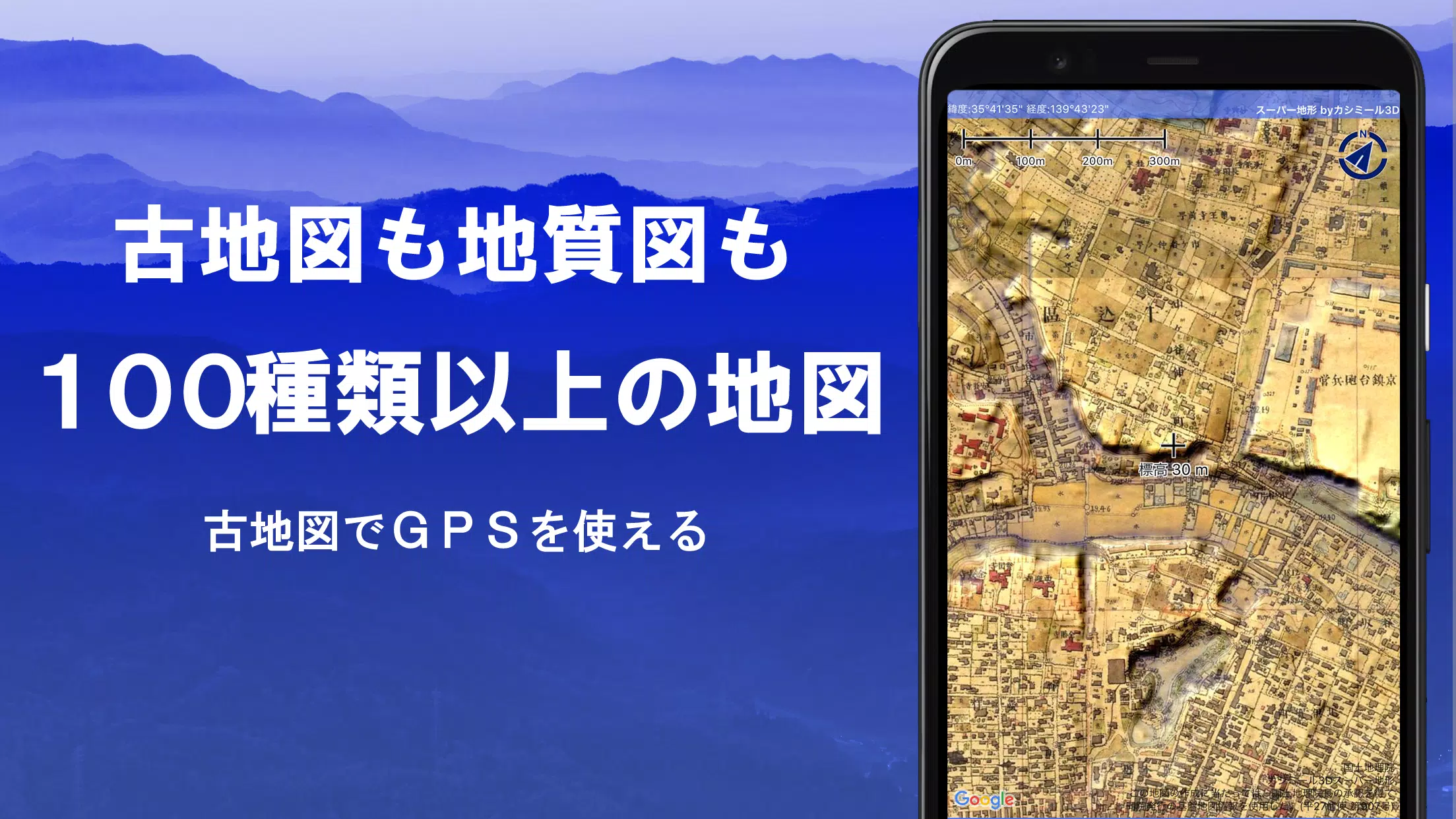
Diverse Map Sources: Access a vast library of maps, including those from the Geospatial Information Authority of Japan (topographic, geological, historical, and pre-war Ordnance Survey Department maps). Aerial photography is available, though coverage varies by age. A free 5-day trial of the "super terrain data" is included.
-
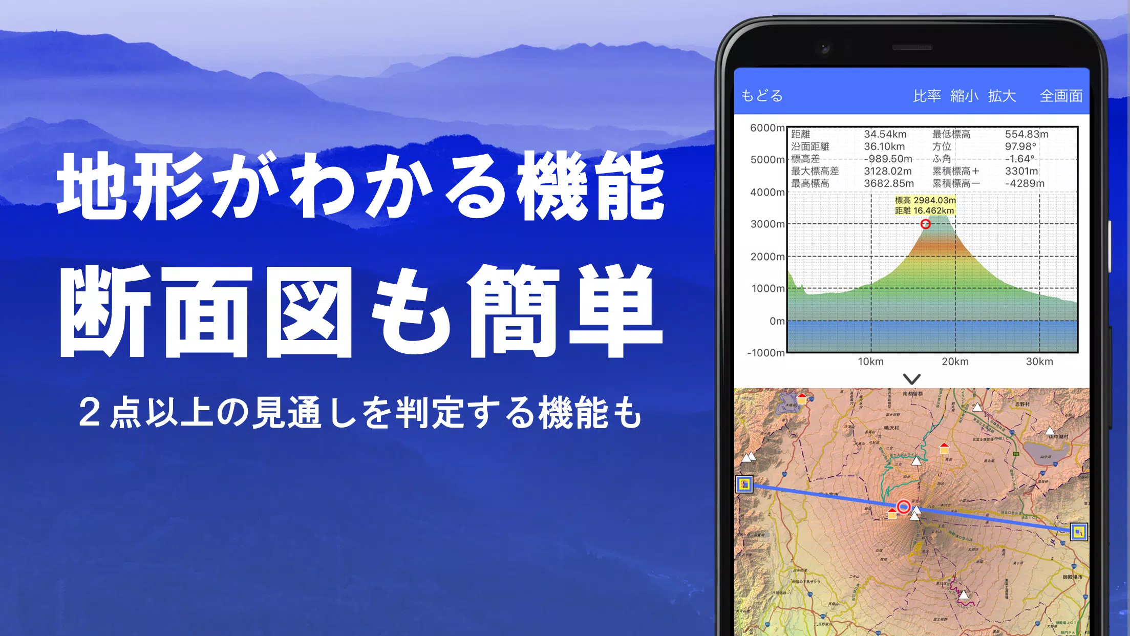
Advanced Terrain Analysis: Create detailed cross-sections at any point on the map, incorporating building data where available. A visibility determination function aids route planning, radio communication analysis, and observation. Earth's curvature and atmospheric effects are factored into calculations.
-
Immersive Visualizations: Enjoy 360° panoramic views with mountain identification, sun and moon positioning (including moon phases), and GPS point overlays. This functionality extends to international locations.
-
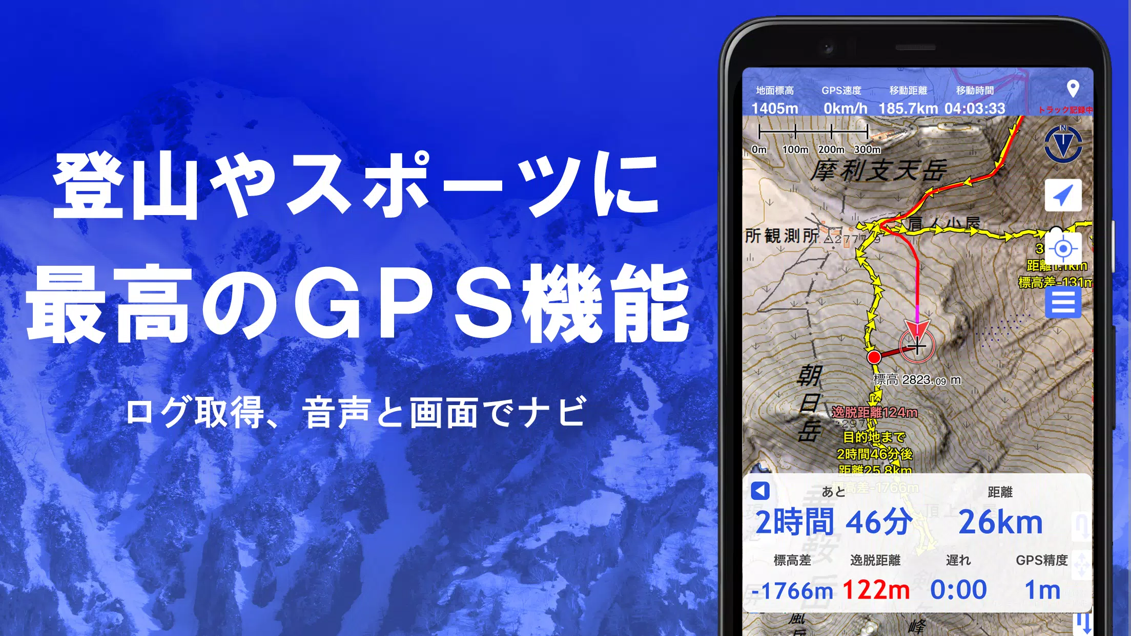
Robust GPS Integration: Utilize high-precision GPS tracking for recording detailed tracks (GPX import/export and editing supported). Features include audio navigation, point alarms, photo association, and track summary playback with automatic photo matching. Data can be sent to NaviCon.
-
Offline Capabilities: Download maps in bulk for offline use, ensuring uninterrupted access even in areas with limited or no signal. A map cache function further enhances offline functionality.
-
Extensive Editing Tools: Draw shapes, edit GeoJSON files (displaying and editing points, linestrings, and polygons), and create tracks directly on the map.
-
Additional Features: Includes an elevation palette for customizable map coloring, MGRS/UTM grid display, map printing and PDF output, a dark theme, map history, custom map compatibility, and a comprehensive backup and restore function (including Google Drive integration).
Pricing and In-App Purchases:
A yearly subscription of 780 yen unlocks premium features like the super terrain data, advanced GPS tracking, and cross-sectional views. A 5-day free trial is available upon installation. Further details on purchasing, cancellation, and price revisions are available within the app's settings.
Important Notes:
Continuous GPS use impacts battery life. Refer to the provided PDF (https://www.kashmir3d.com/online/superdemapp/superdem_navi.pdf) for navigation instructions. Some smartphones may experience track recording interruptions due to power-saving functions. The developer assumes no responsibility for application usage outcomes.
4.6.17
16.7 MB
Android 5.0+
com.kashmir3d.superdem

